
River and watershed maps are the best way to see why the Colorado River is known as the lifeblood of the State of Texas

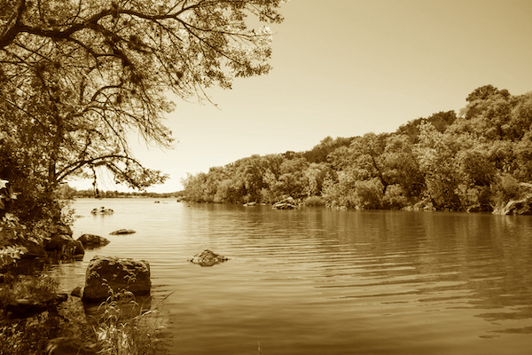
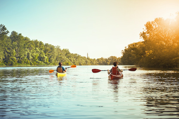
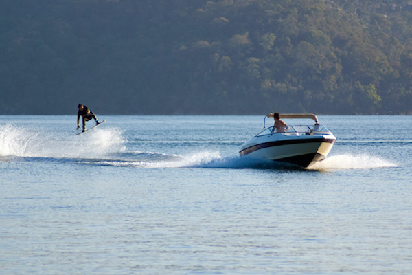
At 865 miles long, the Texas Colorado River is the longest river to start and end in Texas. (Note that it is NOT the same Colorado River that flows through Arizona, Utah, and other western states.) Because of its importance to our state’s economy, our environment, our industry, our agriculture, and especially our lives as Texans, it is truly the lifeblood of our state.

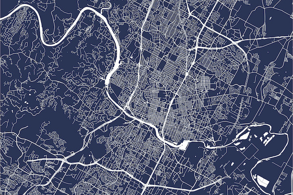
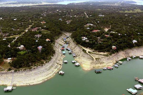
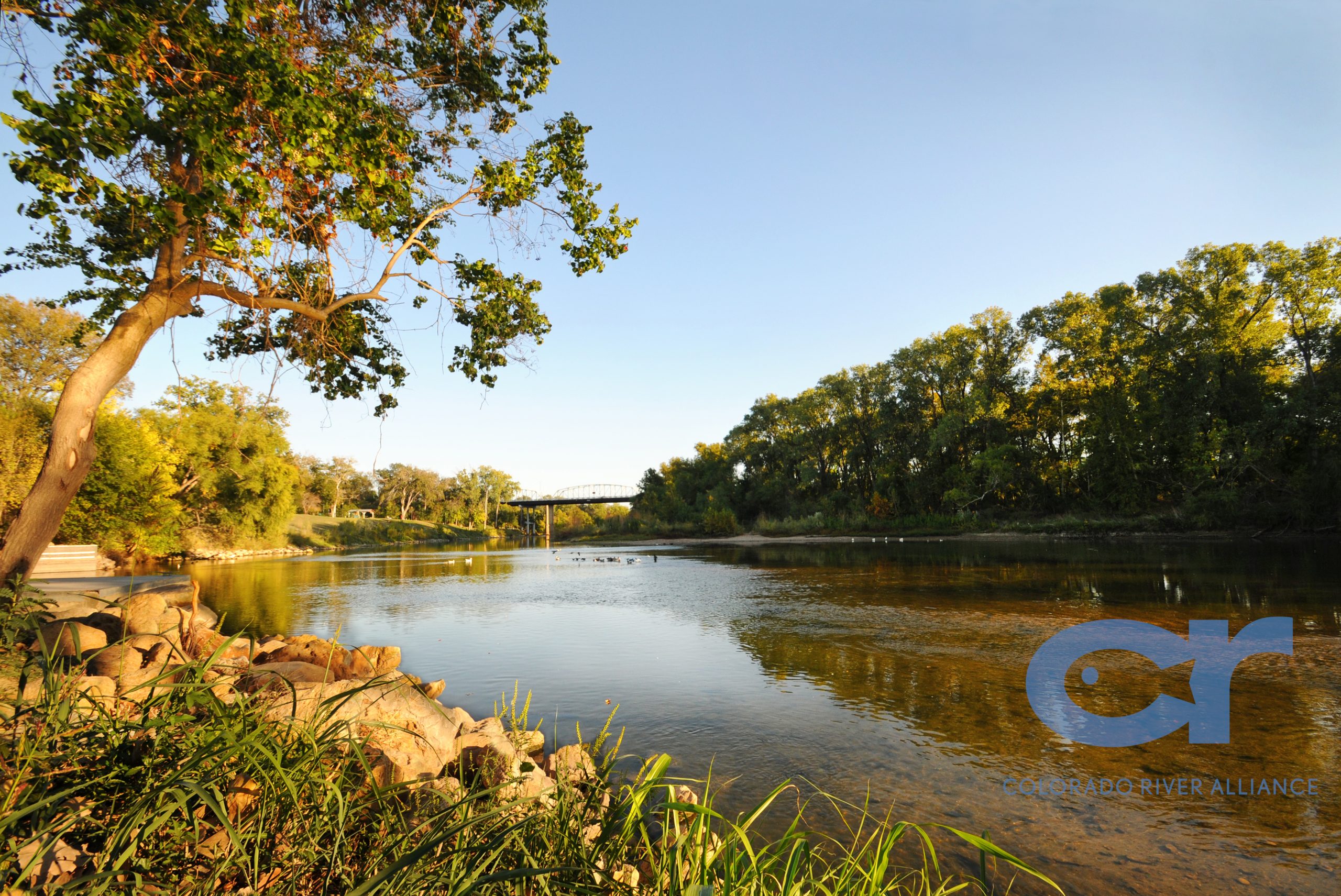
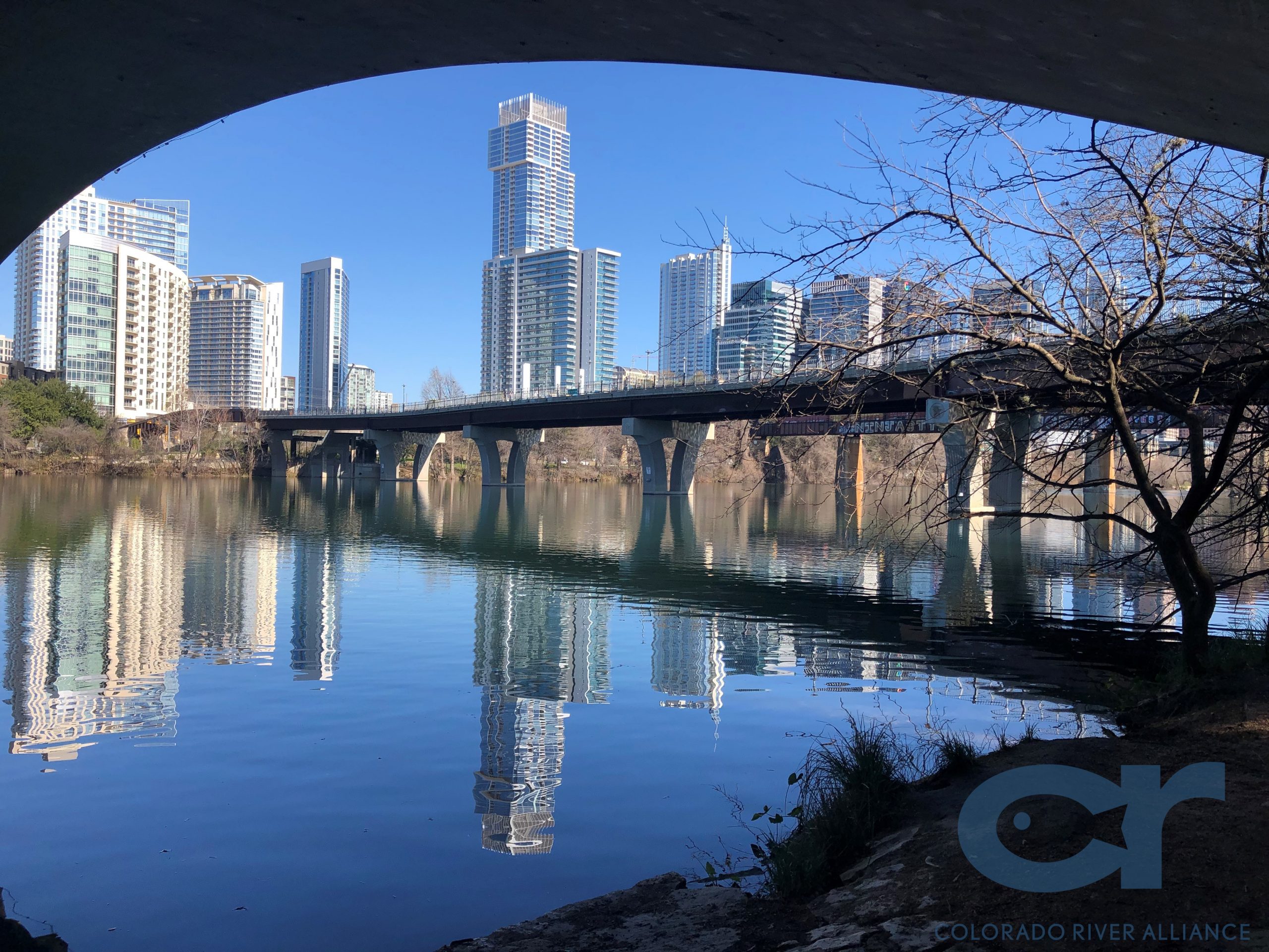
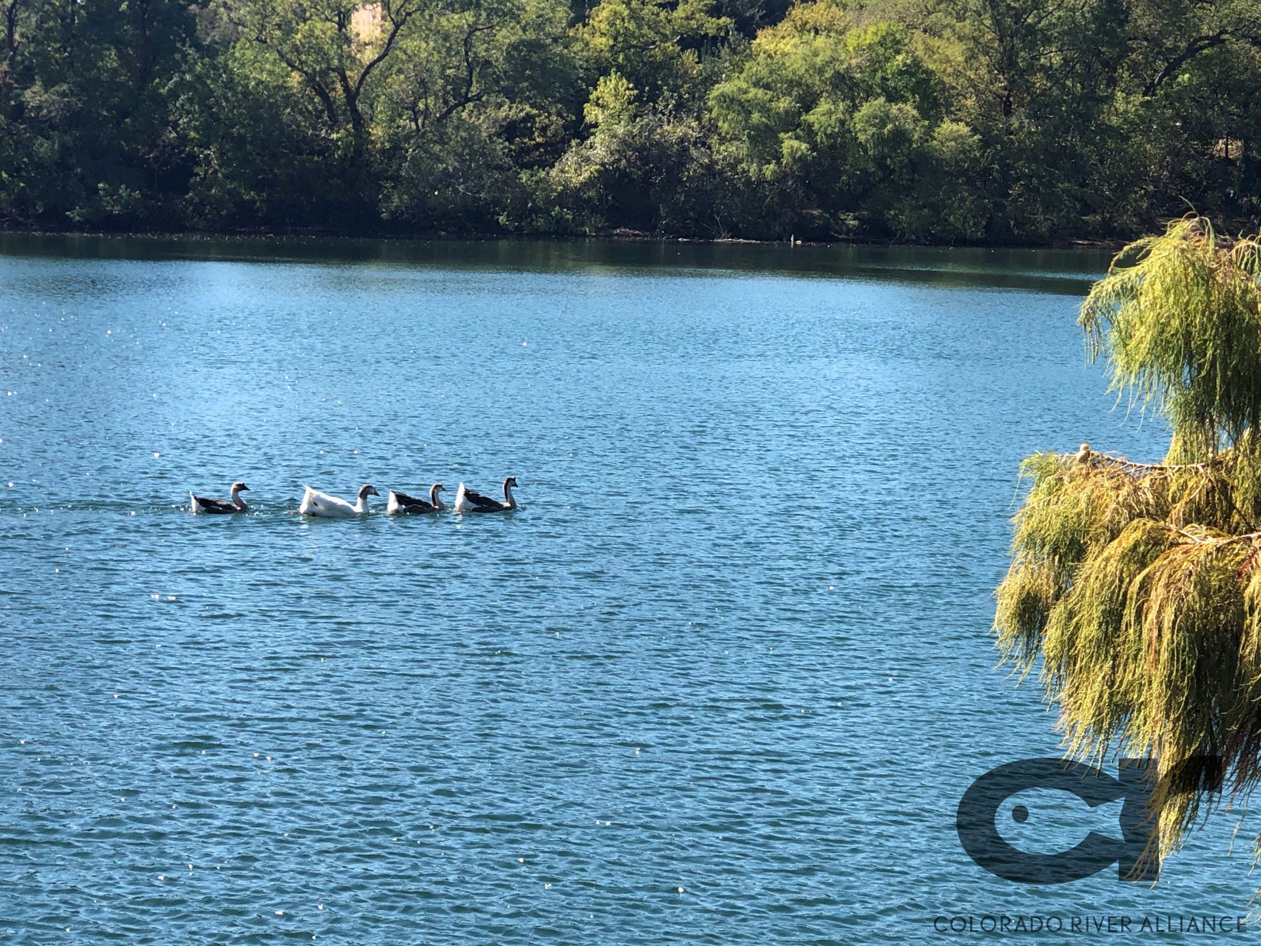
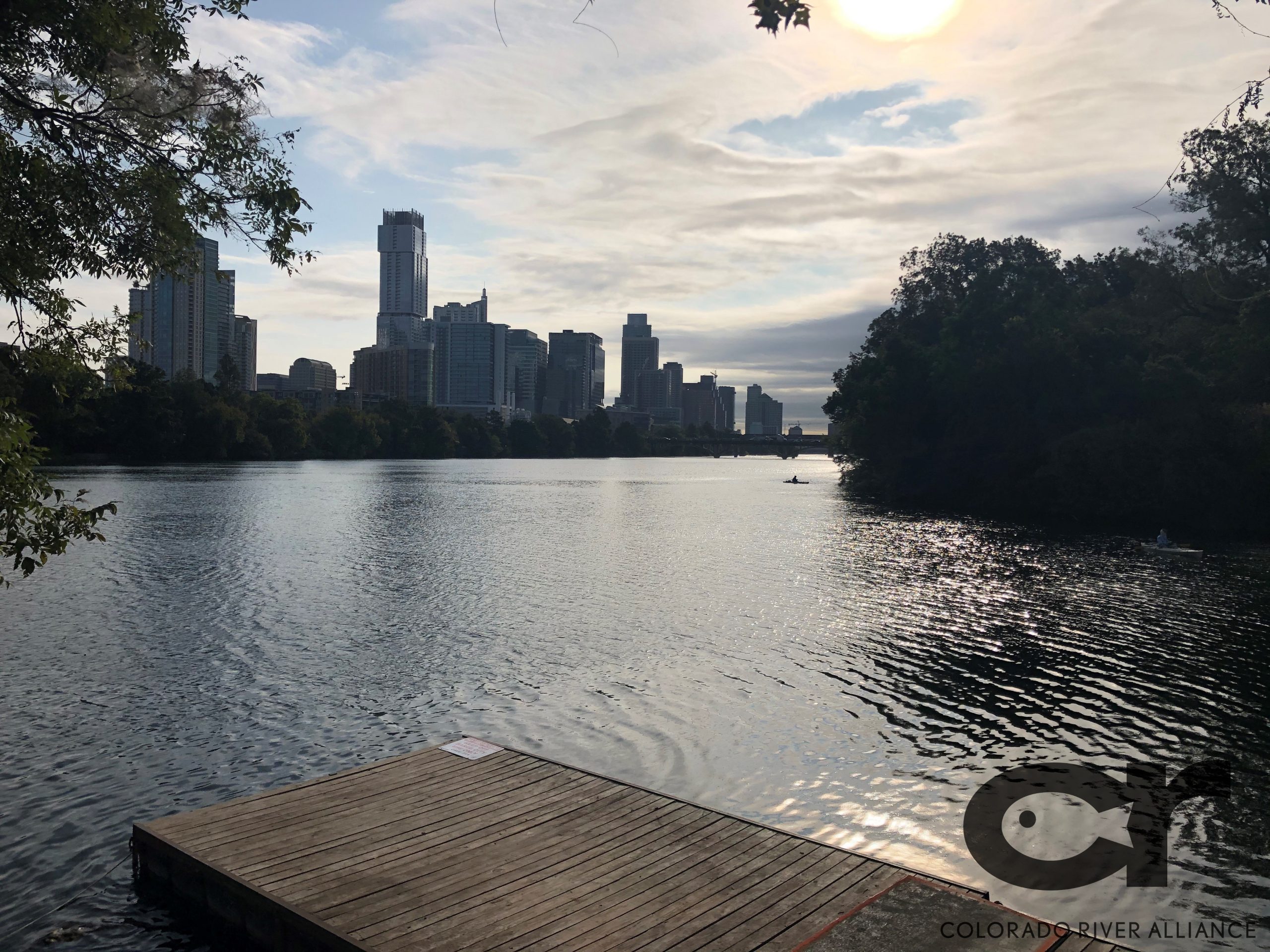
Its headwaters begin in northwest Texas in Dawson County and the river flows southeast emptying into the Gulf of Mexico at Matagorda Bay. Along the way, it flows through or between fourteen counties, some of which are the fastest growing areas in Texas. Its reservoirs form the Highland Lakes, it flows through downtown Austin as Lady Bird Lake, becoming the LoCo (Lower Colorado) through Bastrop and Smithville. LaGrange, Columbus, and Wharton have deep history connected to the Colorado River. In Bay City near Matagorda Bay, where the it empties into the Gulf, an expanse of riverside gardens attract wildlife and birds, which in turn attract birders from across the globe.

A river’s “watershed” or “basin” is all the land that drains into that river. The Texas Colorado River’s watershed is huge and covers almost 15% of Texas. A large portion of the basin is located within relatively arid regions of Texas, resulting in a low average watershed yield. The Concho, San Saba, Llano, James, and Pedernales Rivers empty into the Colorado, therefor their watersheds are considered part of the Colorado River’s watershed, too. Altogether, there are more than 7,500 miles of creeks, streams, and rivers in the basin, and well over 2 million people live and work throughout the watershed. The Colorado River’s watershed includes several major metropolitan areas, including Midland-Odessa, San Angelo, and Austin, and there are hundreds of smaller towns and communities like Bastrop, Smithville, and Bay City located along the river. Many communities, like Austin, rely on the Colorado River for 100% of their municipal water.

The Colorado River has a long and rich history

How did it get its name?

European discoverers referred to the present Colorado River as the “Brazos de Dios”, and the present Brazos was referred to as the Colorado River. “Brazos de Dios” meaning “Arms of God” referred to the many tributaries and streams which came together to form the mighty River which provided much water and fertile soil for the region. Most authorities agree that the name Colorado was first given in the late 1600s to the Brazos River. Colorado, which means ‘red’ or ‘reddish’ in Spanish described the water in the Brazos River, which is more often described as reddish due to the clay bottom of the river. As well, there is considerable evidence to support the theory that the names of the two streams were interchanged during the period of Spanish exploration. The present names, however, were well established before the end of Spanish Texas.

Uses

Today, the river has many important uses such as municipal tap water, fire hydrants, supporting manufacturing, cooling systems for power plants, and irrigation for farms. Some of the river’s water is pumped to cities outside of the watershed such as Corpus Christi and Round Rock. With ongoing growth in many parts of the river basin, demand for water is increasing steadily. The most effective long-term solution to ensuring the vitality of the river is to increase awareness about the importance of the river and inspire behavior changes towards river stewardship and water conservation. At the Colorado River Alliance, we are proud that, through water-conservation pledges, our programs help leave over 20 million gallons of water in the river every year!

A hydromet is a term that combines Hydrology + Meteorology

The LCRA has over 275 hydromet gauging stations throughout the Lower Colorado River Basin that provide real-time weather, water, early warning, and climate information and data.

The long-term vitality of the Colorado River depends on how clean and healthy it is

Water quality can be negatively impacted by several things, much of which are connected to human activity. When you see a plastic bag or wrapper blowing along the street, rain will likely carry it into a storm drain and from there into a local creek, and it will eventually end up in the Colorado River. This visible pollution is unsightly and damaging to aquatic ecosystems.

Chemicals dumped from an industrial site is an example of “point source” pollution because it comes from a specific source. Fertilizer run-off is an example of “non-point source” pollution because it can come from many places at once — making it harder to prevent. Fertilizers, weed killers, and pesticides all wash off yards and fields, into waterways. This invisible pollution is harder to spot than point source pollution and over time it can build up with devastating results.

The most common pollutant in American waterways is dirt. Dirt is an especially common pollutant, usually washing in from land that has lost its natural vegetative cover or blowing in on the wind. Dirt can also come from construction sites, though most builders put measures in place to prevent this.

From severe flooding to times of drought, the amount of water remaining in the Colorado River impacts people throughout the Colorado River Basin

AP photo

Flooding and Drought History

The Colorado River basin has always experienced floods and droughts. Due to numerous factors, both extremes are becoming more frequent, more severe, and more costly.

A large portion of the basin is located within relatively arid regions of Texas, resulting in a low average watershed yield. In other areas, severe storms can cause creeks and streams to flood quickly. The interplay between human water demands and environmental needs is an important issue in the basin.

Large storms can converge within the basin, causing catastrophes like the 2018 floods. In 1936, a single storm system dumped thirty (30) inches of rain just north of San Angelo. As the Colorado River and its tributaries pass through the rocky Highland Lakes area, these waterways converge causing water flood to intensify, sometimes resulting in flash floods. Central Texas is one of the most flash-flood-prone areas of the United States, and the Highland Lakes reservoirs were built specifically for flood control, to protect the growing number of homes and businesses along the river. Visit texasflood.org for information about floods and for helpful resources in the event of a flood near you.

To date, 2011 was the worst year of drought in our state’s history surpassing the infamous drought of the 1950s. Some scientists believe that if the drought of the ‘50s hit Texas today, more than 300 municipalities across the state would run out of water for weeks on end. One of the single biggest “loss factors” of water in the Colorado River is evaporation from the Highland Lakes! Fish, insects, and other aquatic life are threatened when water levels drop. At the mouth of the Colorado River, a complex, environmentally sensitive, and economically valuable system of bays, estuaries, and marine life would collapse without adequate flows from the river. Drought impacts water quantity, because less rain runoff is flowing into waterways, and impacts water quality. As water levels drop and flow rates decrease, the amount of oxygen dissolved in the water can decrease sharply, stressing or killing aquatic life.

Both drought and flooding are a serious threat in the Colorado River basin.

With more than 7,500 miles of creeks, streams, and rivers in the Colorado River basin, there are endless opportunities for fun on the Colorado River

It is vital to understand and reevaluate our water usage

Individuals, business leaders, and entrepreneurs of industries must all work together to preserve the limited freshwater resources provide by the Colorado River. Conserving water alleviates droughts, saves energy, and leaves more water for the wildlife that rely on the river.

The most effective long-term solution to ensuring the vitality of the Colorado River is to increase awareness about the importance of the river and inspire behavior changes towards river stewardship and water conservation. At the Colorado River Alliance, we are proud that, through water-conservation pledges, our programs help leave over 20 million gallons of water in the river every year

Water Pledge coming soon!

Bring the river to your classroom or homeschool

Want to offer something engaging and exciting to your students, but don’t have the time or funding for a field trip? Consider a virtual field trip—convenient from Dawson County to Matagorda Bay.

Each virtual field trip is an interactive 30-minute livestreamed demonstration and discussion at no cost to educators or schools. Let us do the teaching for the day.

Check out the following topics, and contact us today to schedule your virtual field trip:

  • Texas Colorado River: Why is the Texas Colorado River important to Central Texans and how does it impact our everyday lives? In this presentation, we will discuss the history and geography of the river, the role of the Lower Colorado River Authority (LCRA) and Highland Lakes & Dams system, and our drinking water.
  • Watersheds: Where does water go after it falls to the ground? We will discuss runoff, infiltration, aquifers, and the effects of point source and non-point source pollution in our very own Texas Colorado River Watershed.
  • Water Conservation: How can we efficiently use water for cities, industries, agriculture, and the environment? We will cover common uses of Texas water and how to reduce our use—you may be using more water than you think.

In support of a virtual field trip or as a stand-alone resource, check out our TEKS-aligned curriculum, videos, PDFs, worksheets, and activities for educators and student which are available in both English and Spanish.

Field Trip Program Materials (Grades 3-5)

Activity Guide #1: The Texas Colorado River PDF version, Powerpoint version, en español

Activity Guide #2: Watersheds PDF version, Powerpoint version, en español

Activity Guide #3: Conservation PDF version, Powerpoint version, en español

Answer key: PDF version, Powerpoint version

Field Trip Program Videos (Grades 3-5)

Mobile River Program (Grade 7)

Webquest #1: Ecoregions Word Version, PDF Version, en español

Webquest #2: Runoff & Infiltration Word Version, PDF Version, en español

Webquest #3: Water Conservation Word Version, PDF Version, en español

Webquest #4: Water Savers Word Version, PDF Version, en español

Mobile River Program Videos (Grade 7)

Engage with Colorado River related educational resources at home

Family activities

Water Conservation Bingo (all ages)

Water Cycle Bracelets (all ages)

Family Clean-up Activity (all ages)

Colorado River Wordsearch & Crossword (elementary school age-level)

Colorado River Crossword Puzzle (middle school age-level)

Texas 2040 Game (middle school age-level)

Download backgrounds for Zoom or your computer (right-click to save/ download):

Resources from other organizations:

Water levels, water quality, and weather are all factors that affect the safety of the Colorado River

These factors are constantly changing season by season. Stay aware and up to date by visiting here often.

From anglers to bird watchers to plant enthusiasts, the Colorado River Basin is extremely diverse

Fish, insects, and other aquatic life are threatened when water levels drop and at times of flooding. To protect these species, it is imperative to maintain a healthy river and watershed.

At the mouth of the Colorado River, a complex, environmentally sensitive, and economically valuable system of bays, estuaries, and marine life would collapse without adequate flows from the river. Drought impacts water quantity, because less rain runoff is flowing into waterways, and impacts water quality. As water levels drop and flow rates decrease, the amount of oxygen dissolved in the water can decrease sharply, stressing or killing aquatic life.

Ever wondered what’s at the bottom of the Colorado River?

Ever wondered what the bottom of the Colorado River looks like? Some scientists at UT and the City of Austin Watershed Department have collaborated to create high resolution mapping of Lady Bird Lake and Lake Austin. (hydrographs coming soon)

Every Fall the Colorado River Alliance organizes the Lake Travis Cleanup where divers (and shoreline volunteers) collect trash from the bottom of the lake.